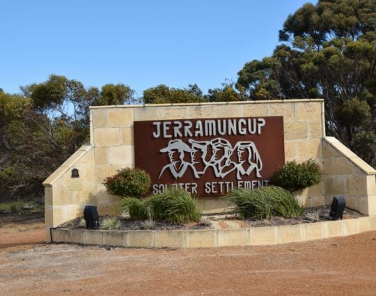
The Shire of Jerramungup is only a relatively young municipality but it is rich in history and proud of its heritage. Jerramungup is the easternmost Great Southern local government area.
The town of Jerramungup was established in 1953 as a war service settlement area and gazetted in 1957.
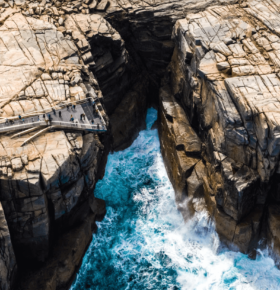
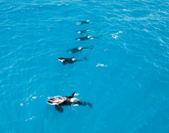
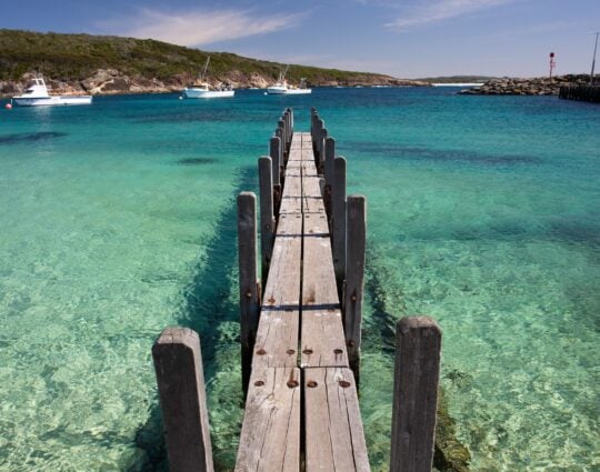
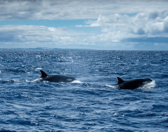
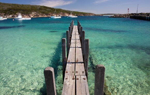
Jerramungup’s agricultural strengths are cropping and grazing. The town of Bremer Bay, with about half of the Shire’s population, is developing rapidly and attracting increasing tourism activity. Bremer’s unspoilt coastline invites fishing, beach combing, whale watching, surfing and swimming.
The Fitzgerald River National Park, located east of Jerramungup and Bremer Bay, and easily accessible from both towns, is one of the largest national parks in Australia. It contains 20 percent of the State’s described plant species. The park covers 329,039 hectares and is one of the most diverse botanical regions in the world, featuring more than 1800 species of plants.
With a population of 1,160 and a land area of 6,511 sq km, Jerramungup contributes $116.9 million of the Great Southern’s gross regional product. Agriculture is the main employer.
Jerramungup
The Shire of Jerramungup is only a relatively young municipality but it is rich in history and proud of its heritage. Jerramungup is the easternmost Great Southern local government area. The town of Jerramungup was established in 1953 as a war service settlement area and gazetted in 1957. Explore Regions
 Bremer Bay, credit Tourism Western Australia


Resident of Bremer Bay, Shire of Jerramungup